LOGXON – Professional drone services and 3D data logging
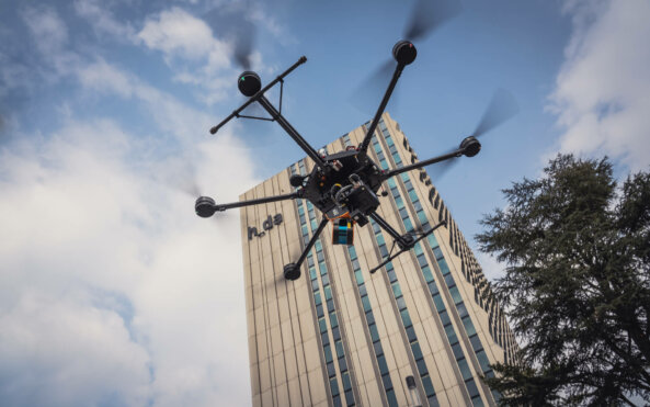
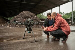
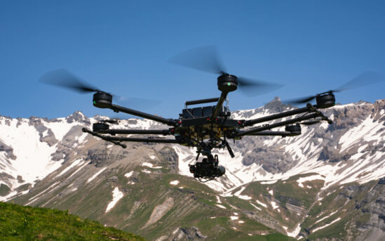
The team at LOGXON has specialised in the use of drones since 2008 and has established itself as a full service provider concerning drones in the ever expanding industry of data gathering. Our company’s focus is the gathering of 3D (measurement) data and the creation of media-related content for a wide range of commercial and industrial sectors. Many years of international project experience and our own diverse fleet of drones and the latest sensors allow us to offer a wide range of drone services around the world. Our pilots are highly qualified, experienced, and possess all licences for deploying drones professionally. As a professional drone service provider, in addition to high-quality results and customer satisfaction, it is safety above all else that is our priority.
Experience
Since 2008 experience and involvement in the field of UAVs
Flexibility
Our infrastructure and flexible systems allow for very brief deployments (across Europe and the world)
Large UAV fleet
Our very own, widely stocked fleet of UAVs, not restricted to a particular manufacturer or manufacturers
Full service project management
Personal, reliable and efficient, from A to Z
Licensed pilot worldwide
Top pilots with international project experience and a global network of partners
Standardised processes, effective pre- and post-processing
Reliable data processing and quick data transmission
Expert evaluation
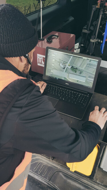
Data is processed and evaluated by engineers and geographers
Global insurance protection
Extensive third-party liability and fully comprehensive insurance, as well as special insurance policies
Safety and security
The data collected by us can be evaluated securely by back office staff. Thanks to contact-free recording from the air, nobody need enter dangerous areas ever again.
What distinguishes us:
Independent of UAV manufacturers
Project-related UAV deployment based on the latest technology without restriction
Flying different sensors
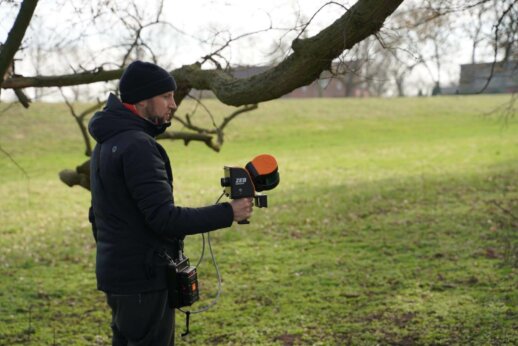
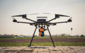
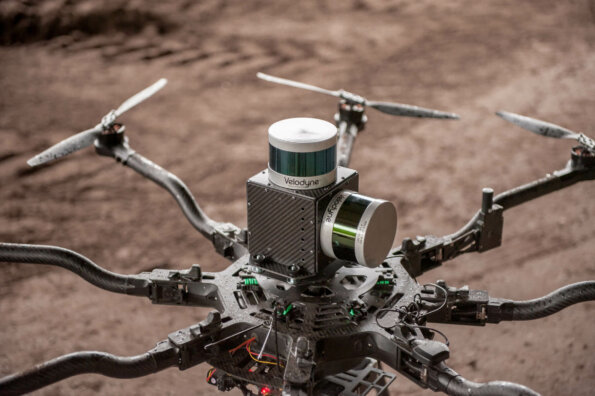
Flight platforms for common UAV LiDAR scanners, IR and multispectral sensors
In-house engineers
For customised products and special solutions
Failure-safety using redundant drone systems on site
Redundancy of all key system components on site
Capturing large spaces
Quick, precise and secure capturing of areas of up to 50 ha per flight (battery pack) battery change within a minute
100% autonomous
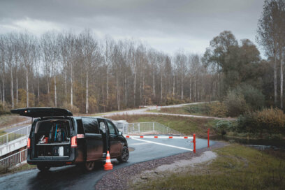
Our very own project-specific infrastructure, such as a power generator, forms a component of our service at the location
High-resolution aerial images
42 megapixel camera – 1.3 cm ground resolution (ground sampling distance, or GSD for short) when flying at a height of 100 m
High-resolution videos and film
Up to 8K resolution – SLR camera quality right up to cinematic quality with cine lenses
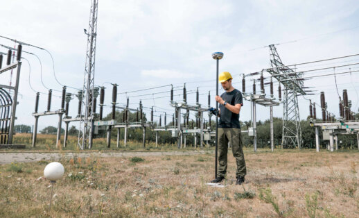
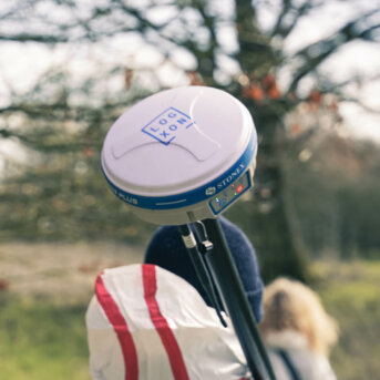
Latest GNSS RTK receivers
For gathering independent (ground) control point data
Performance data and features of the flight platforms
Flying time
Up to 40 minutes, depending on the UAV, equipment and sensor
Payload
Up to 11 kg payload
GPS-supported control
For precise navigation exactly reproducible flights at later points in time
Autonomous flying
Autonomous flying of missions using the latest flight control systems and sensor technology
Speed
Up to 80 km/h top speed
Wind resistance
Use also possible in high winds of up to 35–40 km/h
Live HD transmission with playback during flight
Allows for the operation of a customer monitor and is used for live inspections
Top view
Attaching of sensors to the upper side or lower side of the UAVs possible
All data from one source – Full service provider for drones
As a full service provider when it comes to drone services and 3D data gathering, we are at your side from the project planning phase, to implementation all the way through to evaluation. Our professional team of experienced employees seeks active exchange and direct communication with our customers in order to ensure a seamless process during flights for data gathering and to supply the agreed result afterwards. For best results, it if great importance that requirements such as level of detail, accuracy and formats are defined and devised from the outset. Our active and customer-focussed project management supports you in carrying out your project efficiently within the shortest possible time and to the agreed quality.
Furthermore, we of course deal with all issues relating to drone flights, such as logistics, flight permits and, if necessary, special approvals. As a professional drone service provider, conducting flights safely and efficiently is the main priority. Furthermore, we have a special and globally valid third-party liability insurance policy for aviation which covers personal injury and property damage. With our fully comprehensive aviation insurance, external equipment, such as sensors, for example, are also covered. We can provide details of the various insurance amounts and insurance policies upon request.
Personal consulting
We nurture our relationship with our customers not just during but before a project. We would be delighted to advise you in terms of feasibility, efficiency and technical options. Our past experience proves that close dialogue with customers, partners and stakeholders is critical to project success and is absolutely indispensable for us.
Product development and special solutions
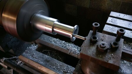
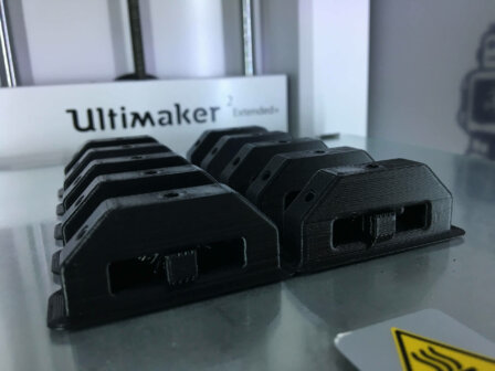
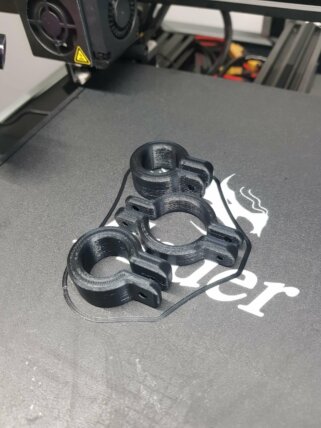
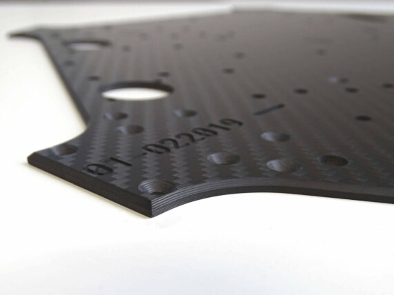
Since 2008, we have specialised in the use of multirotor systems (UAVs) in a wide range of industries and operate as a drone service provider. In addition to the use of pre-existing system solutions, our engineers develop tailored, custom-made products for the special wishes of customers. Our industrial mechanics and mechanical engineers support innovative projects from the very beginning. This way, the first CAD models, prototypes, enhancements and custom-made products are created by us – all from one source.
